Friday, January 31, 2014

Big Bend National Park (TX)


53. South Rim Highpoints: After enjoying a sandwich and the views on the South Rim awhile, I figured I should get moving. I still had a good seven miles of walking to do. I wandered over to a high point toward the south end of the rim, then approached another point on the way back toward Emory. I made a short off-trail hike in light brush, partly along an intermittent boot trail to the gentle summit (Point 7395)—hardly a noteworthy accomplishment, although it was just far enough off the trail to get that lonely feeling again in mountain lion country. I tagged the summit and snapped a photo of Emory rising between the trees. As I headed down, I immediately lost the boot track and became briefly disoriented, but knew that as long as I moved eastward, I’d soon stumble on the trail, which I did after a short argument with some brush. I determined that two easy off-trail highpoints added up to one countable summit so I granted myself a second peak for the day. Seven to go. The scenic hike back to Chisos Basin passed below sunlit Emory and offered many more great views of the park. The miles slipped by like butter and I was back at my cozy tent well before dark.
Miles and elevation gain included below.

On the way to the South Rim.

Almost there.


Minor high point.


Emory Peak from a lonely high point.

Another view of Emory.

Emory Peak from the west.


Big Bend National Park (TX)

On the way to Emory Peak, looking back at Casa Grande.

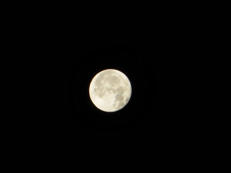
52. Emory Peak: Another cold night and brilliant moon at Big Bend was followed by a perfectly sunny day that warmed half way into morning. I’d decided to head out early to make the 12.6-mile loop out to the South Rim, one of the park’s classic hikes. I would also add the 3.2-mile side trip up Emory Peak, the highest in the park, plus some minor off-trail wandering to total 16 miles and about 3,200 feet of elevation gain. I hiked in via Pinnacles and Boot Canyon Trails and returned via the Laguna Meadow Trail. Half way up to the saddle, I passed a heavyset fellow who looked much younger than I and who seemed to be huffing more than he was puffing. I bid him well, quietly hoping his heart would hold out long enough to enjoy the promised views ahead.

The first half of the loop is a splendid trek through gorgeous terrain past a large rock tower shaped like a cowboy boot (it had to be in Texas) to a million dollar view of Mexico from the rim. I could have sat and stared for hours. The sidetrip to Emory was also exceptional. The exposed summit rocks were exciting enough (class 2-3) and well worth the extra push, even if a radio transmitter and solar PV panel kinda mucked things up at the apex. On the way down from the peak, I passed my hefty friend, still truckin’ and aiming for the summit. He confided with a smile that “Climbing Emory was probably the last thing a 320-pound man should doing on his vacation.” As far as I know, he made it too, since he was getting pretty darned close at that point. I made a good trek myself that day, but I think I was outdone by the big guy.
Miles (RT):  16.0 miles; elevation gain: 3,200 feet
Cumulative mileage and gain:  250.4 miles / 64,850 feet


Zoomed shot back to camp.

Emory's summit scramble.

The boot.

Big Bend National Park (TX)

View from Casa Grande, campground is way down below.
By mid-January I’d gained 50 summits in my quest for Sixty, but with only two weeks to go, how was I ever going to manage ten more? I started scanning the map of the good ol’ U.S. of A. for sunny winter destinations (with affordable airfare) and my pointer finger soon landed on Big Bend National Park in west Texas. It should be sunny and 60s in January, I learned, and that was all I needed to know. On the one hand it seemed a bit frivolous to jet over to Texas for a few days of hiking. But on the other hand, I was on a mission and hadn’t been on such an adventure in a beauteous new place for way too long. Most of my vacation time seems generally consumed by domestic duties and the like, with a day or two of fun tossed in here and there for sanity’s sake. Kris was also traveling to Seattle for a 10-day winter break with family, so I figured I could tack on a couple of vacation days to a three-day M.L. King weekend and fly to San Antonio on January 16. So that’s what I did.

After a long drive west—and a near accidental detour into Mexico after missing a turn—I arrived at the Chisos Basin campground just after dark. For the next four days, it was total Blissville, with five new summits added to the count. I had to consult my rule book a few times to be sure a couple of them would qualify. But since I write the rules, I figured the chances were pretty good.

Casa Grande from Chisos Basin.

51. Casa Grande: I crawled out of the tent early dawn on January 17th for my first good look at the Chisos Mountains, having arrived under stars the night before. The mountains surround Chisos Basin like a giant caldron, and in fact, the place owes its existence to several large volcanic eruptions 30 to 60 million years ago, plus some artful erosion in the years since. Imposing Casa Grande rose above my tent and grew more impressive with the morning light. It is thought to be a remnant lava cap that flowed over more erodible ash and sandstone. At the time, I wasn’t even sure yet what mountain I was looking at, given the sparse research I’d done beforehand. But after a morning stroll to the ranger station up the hill and a look at the map, I learned its name—and also discovered that there was a steep, unofficial trail to the summit. After some book browsing and putzing around, I was finally on my way.

The climbers’ path leads west from a mile up the Lost Mine Trail. A jolly jaunt led along the easy ridge, then the grade steepened as I clambered up light brush, rocks and scree to the first false summit. The trail faded through a gentle saddle then reappeared for the climb past rock towers to the next false summit, where a natural arch added an extra flair. After slogging over the crest, I was a little surprised how distant the summit still appeared. I kept on, feeling a little lonelier as I climbed far above the surrounding desert.

Despite a perfect, 70-degree day, I saw no one else on the route. I began to wonder about the super-abundance of warning signs throughout the basin and at trailheads going on about the threat of mountain lion encounters, since they are frequently spotted in the Chisos. But they only hunt early and late in the day, right? Black bears too. I marched on. Another very steep and skinny scree slope finally brought me to the top where I wandered among two gentle high points to be sure I’d nabbed the correct one. The view was tremendous and I enjoyed a 2:30 lunch gazing down on my tent from my 7,325-foot perch. Not a bad way to get acquainted with a fabulous place that had somehow evaded my radar for so many years.

Miles (RT):  4.2 miles; elevation gain: 1,600 feet
Cumulative mileage and gain:  234.4 miles / 61,650 feet


Duncan Knob (VA)


When I came to DC in January 2011, one of the first hikes to catch my attention was Duncan Knob, a hike up a scenic rock pile that I’d noticed on the online calendars of local hiking clubs. I called to sign up once, but winter weather cancelled the trip. Somehow, it’s taken me three years to finally make my way up the knob, in January no less, which was kinda cool. Doubly cool was the fact that it would be Number Fifty in my quest for Sixty Summits by Groundhog Day.
50. Duncan Knob: For the ascent, I just happened to pick a fabulous winter-blue day, January 12, with temps in the 40s and no snow anywhere. Amazingly, I didn’t see a soul coming or going. It felt as if I had half of Virginia to myself. Bright sun lit up the leafless forest, casting long shadows into the detritus. A long-ish slog, maybe three miles, led partly along an old road and creek to a junction where the trail steepened to climb the ridge. At the top, the white-blazed summit trail broke off to the north and a steep scramble up talus brought me to the summit. A perfect, stone lunch counter invited a sandwich break capped by a big hunk of chocolate.

Miles (RT):  8.0 miles; elevation gain: 1,500 feet
Cumulative mileage and gain:  230.2 miles / 60,050 feet


New Year’s Eve (VA)

The Stairwells on King Street.

Old Town Alexandria, which may soon become our main stomping ground (as we contemplate moving out of the District), sponsors quite a party on New Year’s Eve.  Dozens of musical performances, kids’ activities and more fill up the “First Night” agenda all afternoon and evening, capped at midnight by fireworks over the Potomac. Somehow, I forgot to take pictures of the fireworks with my new camera, but we did nab a few of our favorite acts, i.e, the Stairwells, a mens’ a capella group from Williamsburg, VA, and Bill Kirchen of Commander Cody fame (think Hot Rod Lincoln). We’ll definitely do this again.

The extraordinary Bill Kirchen.

Sunday, January 5, 2014

Big Ridge and Cranny Crow (WV)

Cranny Crow Overlook.

On December 28th, Kris had to work so I took advantage of another gorgeous day off and raced over to Lost River State Park just inside West Virginia and not all that far from DC. The trail up Big Ridge reached a high point with a fire tower, though it was inaccessible—perhaps too rickety for public use. Lower down, an overlook called Cranny Crow also caught my interest and offered a nice loop.

49. Big Ridge and Cranny Crow: Once I found the park, it took some figuring to determine where the trailhead was, since the directions I found online weren’t entirely clear. The park’s visitor center had just opened minutes earlier and the kind woman behind the counter was quick to set me straight and hand me a trail map. The hike was quite enjoyable, I thought, with several overlooks, historic homestead, the impressive tower and an old cabin at the top. Cranny Crow, was the best stop though, with an aesthetically pleasing rock shelter looking out over Duck Hollow and the surrounding hills. Who knows how the name came about? I imagine someone seeing a crow in a cranny in the rocks and sayin’ hey, lookie dat! It’s a cranny crow! Fun place. And a nice hike to end on for 2013.
Miles (RT):  6.4 miles; elevation gain: 1,500 feet
Cumulative mileage and gain:  222.2 miles / 58,550 feet


Gorgeous winter day.

At Cranny Crow.


Summit tower.

The actual summit.

1830s cabin.


Cool blade of rock, same as Seneca Rocks.