 |
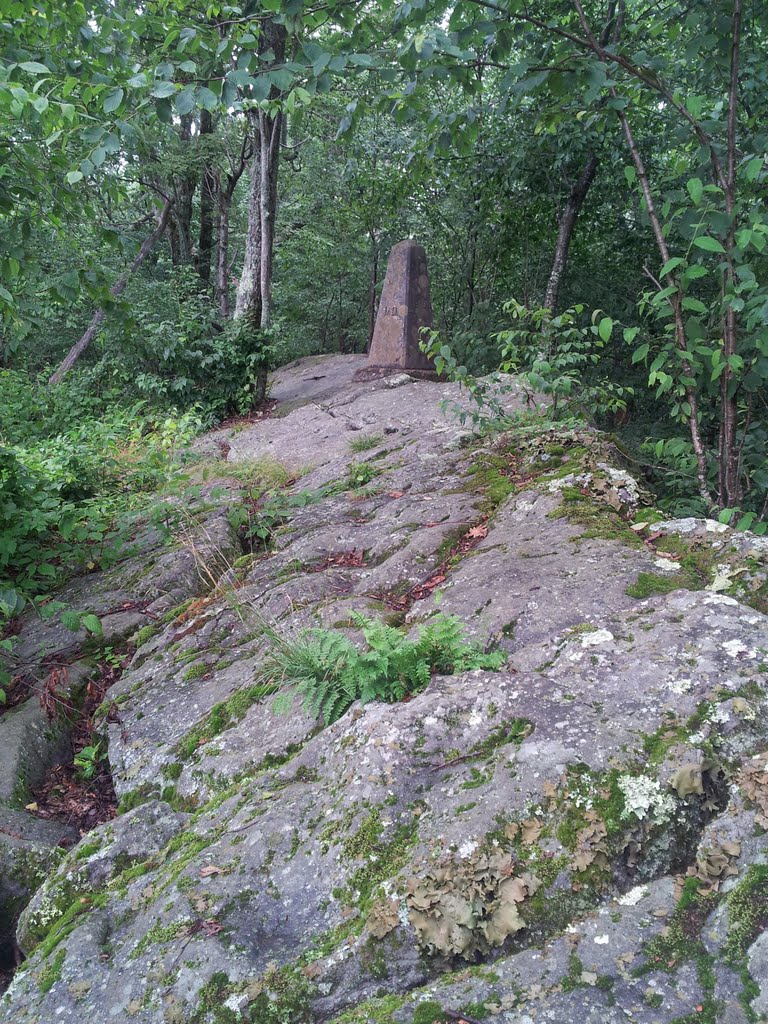
| MD-WV state line marker. |
The rain picked up as I headed south from the highpoint of
Pennsylvania (below) to the top of Maryland and the highest point along
Backbone Mountain (July 27). I had good
directions for this one at the west end of the long Maryland panhandle. The trailhead was adjacent to the highway. Conveniently, the rain stopped when I parked
the car.
16. Backbone Mountain:
An uneventful, one-mile long, 700-foot climb up an old logging road took
me to the rocky crest where a concrete monument delineates the boundary between
Maryland and West Virgina. In fact, the
whole hike is in the latter state and you don’t reach Maryland until you’re
pretty much at the end. A sign with a tall
cairn marks the spot. The sprinkles held
off and the clouds lifted just enough for a view, which wasn’t half bad.
Miles (RT): 2.0
miles; elevation gain: 700 feet
Cumulative mileage and gain:
72.3 miles / 20,520 feet
 |
| The summit view. |
 |
| The highpoint up close. |
 |
| A captivating fungus next to the trail. |


No comments:
Post a Comment